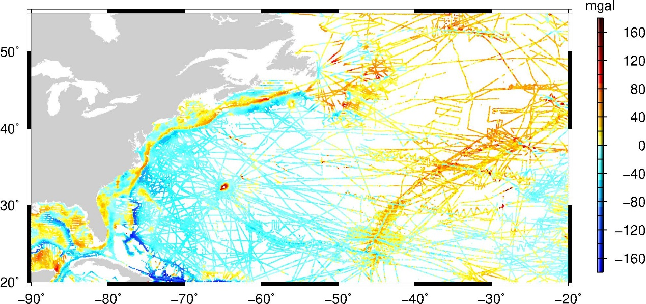
Seamounts can be habitats and hazards to submarine navigation, and their distribution reveals the volcanic history of the oceans. As only a few percent of ocean floor has been sounded, seamount distribution must be mapped by satellite altimetry. Wessel (doi:10.1029/2000JB000083) looked at data from an earlier generation of altimeter technology and suggested that all seamounts 2 km and taller had been found, but there might be as many as 50,000 seamounts between 1–2 km tall that were not yet found. The AltiKa altimeter delivers more precise sea level measurements at a higher along-track sampling rate than previous altimeters. These data resolve small seamounts not previously resolvable (Smith, doi:10.1080/01490419.2015.1014950), particularly if repeat-track profiles are “stacked” and band-pass filtered (Marks and Smith, doi:10.1007/s11001-016-9293-0). These two studies looked at only a few isolated locations where multibeam acoustic depth sounding surveys were available for “ground truth” for tuning a band-pass filter to detect the small seamount geoid signal. In the new work we present here we have stacked 32 repeat cycles of SARAL AltiKa data world-wide, and band-pass filtered the stacks, to yield 75,208 potential seamount locations distributed between +/- 81.5 latitude throughout the global ocean. These locations are detected as local maxima in the filtered geoid at least 2 cm above background and with a full-width at half-maximum (FWHM) at least 4 km wide. Of these, 4824 detections were over multibeam surveys. We assign a proxy seamount height to each by subtracting the regional SRTM30 depths from the multibeam depths. These proxy heights follow a Poisson statistical distribution similar to that which fits acoustic bathymetry profiles over seamounts (Jordan et al., doi:10.1029/JB088iB12p10508). We are currently investigating how to derive proxy heights from anomaly amplitude and FWHM, optimizing the trade-off between false negative and false positive detections, and whether it is possible to identify potential seamounts that may pose hazards to submarine navigation.