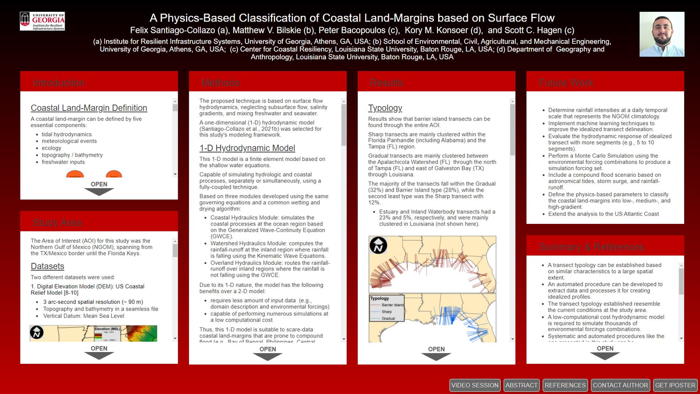
Worldwide coastal land-margins are prone to many flood hazards such as astronomical tides, tropical cyclones, sea-level rise, and extreme precipitation events. Compound flood events, in which two or more flooding mechanisms occur simultaneously or in close succession (Santiago-Collazo et al., 2019, https://doi.org/10.1016/j.envsoft. 2019.06.002), can exacerbate the inundation impacts due to the highly non-linear interaction of coastal and hydrologic processes. Furthermore, sea-level rise will increase the hazard at low-gradient coastal land-margins when assessing future projections due to its non-linear nuance on the compound flood (Santiago-Collazo et al., 2021, https://doi.org/10.3389/fclim.2021.684035). Therefore, there is an urgent need to develop new technologies capable of comprehensively studying compound flood events and identifying hotspots prone to these inundations. This research aims to develop a technique capable of defining and classifying coastal land- margins based on physically-based criteria due to surface flow hydrodynamics. A one-dimensional (1-D) hydrodynamic model was used to quantify the hydrodynamic response of thousands of different combinations of input parameters (e.g., astronomical tides, storm surge, precipitation, and landscape) that define a coastal land-margin. This 1-D fully-coupled model, based on the shallow water equations, was applied at a national spatial scale, considering several coastal watersheds within the Gulf of Mexico and the US East coast. One of the main goals of this tool is to identify coastal land-margins vulnerable to compound flood hazards over broad spatial scales (e.g., national or global scale). Findings suggest that low-gradient (e.g., slopes less than 0.01 m km-1) coastal land-margins are more susceptible to compound flood impacts than ones with a steeper gradient under most flooding scenarios. Future research will focus on applying this tool on a worldwide basis to test its capabilities at low-resolution, scarce data regions. A worldwide classification of coastal land-margins may help authorities, policy-makers, and professionals converge on better coastal resilience measures, such as comprehensive compound flood analysis to delineate accurate compound flood hazard maps.Full online poster version at agu2021fallmeeting-agu.ipostersessions.com/Default.aspx?s=FA-1F-20-67-21-4E-E7-69-9F-89-1E-33-BB-3D-2D-40